AJX Space Data
Data from space. Clarity on Earth
AJX Space Data on uuden sukupolven ympäristö- ja aluetiedon tuottaja.
Hyödynnämme satelliittidataa ja jalostamme sen selkeiksi, visuaalisiksi ja helposti ymmärrettäviksi raporteiksi.
Tarjoamme yrityksille, taloyhtiöille ja kiinteistönomistajille paikallista tietoa:
• ilmanlaadusta
• pintalämpötiloista
• pöly- ja aerosolitasoista
• merialueiden olosuhteista
• maankäytön muutoksista
Muutamme monimutkaisen avaruusdatan päätöksiä helpottavaksi työkaluksi.
Selkeät raportit.
Me jalostamme datan – sinä teet parempia päätöksiä.

Mistä AJX Space Datan data tulee?
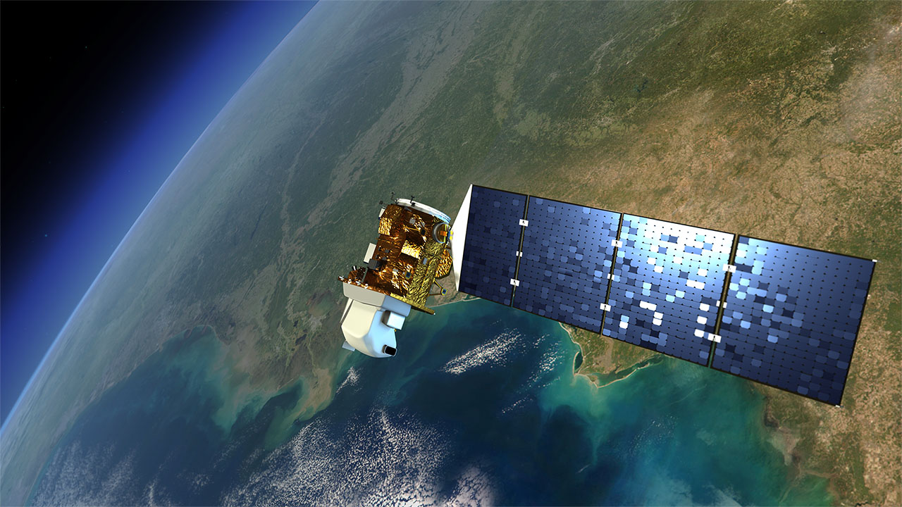
Hyödynnämme luotettavaa ja tieteellisesti validoitua satelliittidataa seuraavista lähteistä:
• Sentinel-1 (tutka- ja rakennemuutokset)
• Sentinel-2 (optinen kuvaus ja maankäyttö)
• Sentinel-3 (lämpötila ja meridynamiikka)
• Sentinel-5P (ilmakehä ja ilmanlaatu)
• CAMS (aerosolit, pöly ja ilmamassat)
• NASA EarthData
• NOAA Suomi-NPP
Avaruusdataa, jalostettuna selkeiksi ja visuaalisiksi raporteiksi.
